our projects
Our ProjectsMap of Lebanon: Natural and Historical Heritage (2001-2002)
Map of Lebanon: Natural and Historical Heritage (2001-2002)
This project, of vital importance for archeological and cultural tourism, was realized at the initiative of the National Heritage Foundation, in collaboration with the Directorate General of Antiquities (DGA) and the Department of Geography, Faculty of Human Sciences of Saint-Joseph University. It was financed and “sponsored” by the Hotel Al Bustan.
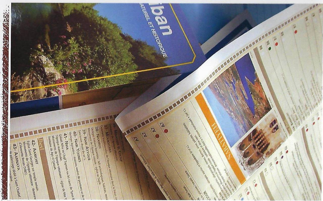
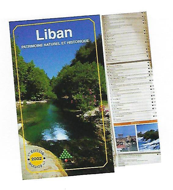
The “Map of Lebanon: Natural and Historical Heritage”, was published on October 2, 2002, on the eve of the IXth Francophone Summit which was held in Beirut, and presents the natural sites and the precious historical remnants in all the regions of Lebanon.
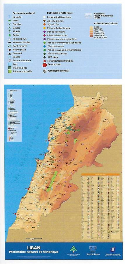
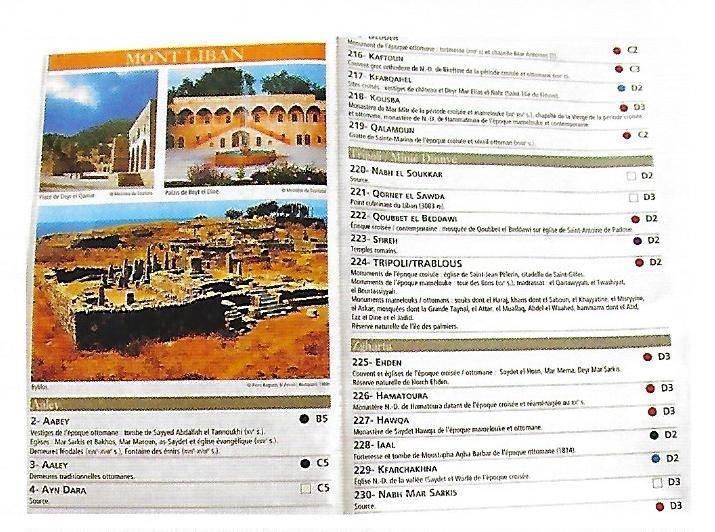
Drawn on the scale of 1/200.000, in concordance with other tourist and road maps of Lebanon, the “Map of Lebanon: Natural and Historical Heritage” is accompanied by an index of sites and monuments represented, with pictograms identifying natural sites, and small and colored circular indicators showing the chronological period of sites and monuments. The document also contains a notice detailing the elements of heritage that are represented.